Jesus Journeys to Jerusalem for Passover Map

Jesus Journeys to Jerusalem for Passover Map image

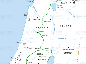
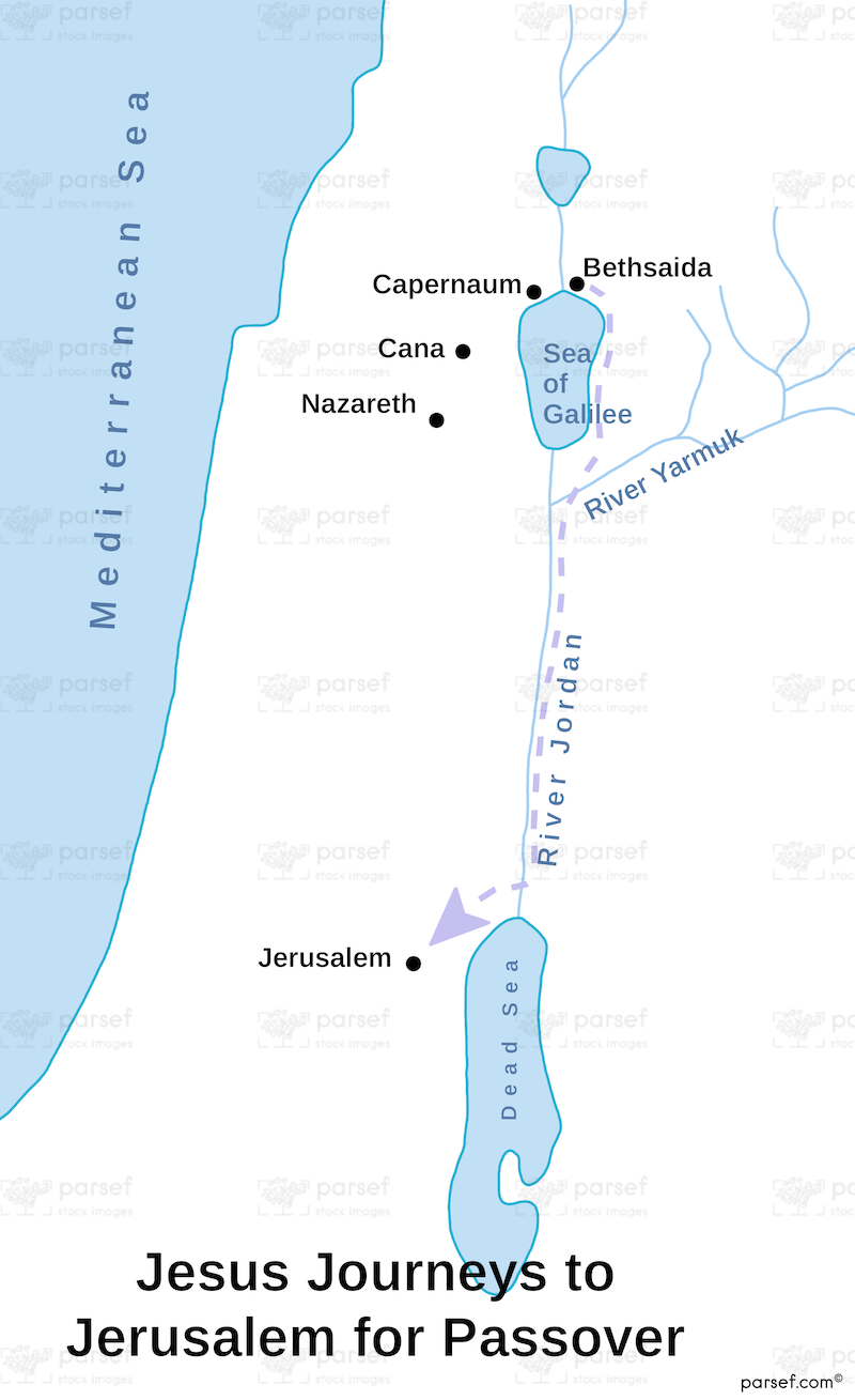
Jesus Journeys to Jerusalem for Passover Map: This map traces the journey of Jesus from Galilee to Jerusalem for the Passover, a key event in the Gospels. It includes key locations along the route, such as Jericho and Bethany. The map offers context for the final days of Jesus’ earthly ministry leading to his crucifixion.


Download High Resolution 300 DPI File Jesus Journeys to Jerusalem for Passover Map


Related Maps

Kirjath Jearim Map image
Read More

Kirjath Jearim Map

Kirjath Jearim Map: This map focuses on the city of Kirjath Jearim, an important location in the Bible, particularly in...
Read More

Egypt in Bible Times Map image
Read More

Egypt in Bible Times Map

Egypt in Bible Times Map: This map outlines Egypt’s geography and its significance during biblical times. It includes major cities,...
Read More

Idumea Map image
Read More

Idumea Map

Idumea Map: This map shows the region of Idumea, located south of Judea and associated with the descendants of Esau....
Read More

Ancient Samaria Map image
Read More

Ancient Samaria Map

Ancient Samaria Map: Explore the territory of ancient Samaria, including key cities and landmarks. This map highlights Samaria’s role in...
Read More