Herod the Great’s Kingdom Map

Herod the Great’s Kingdom Map image

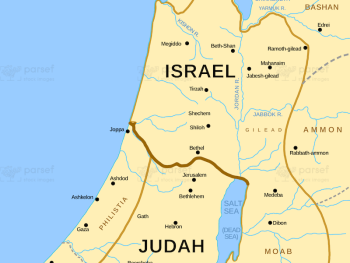
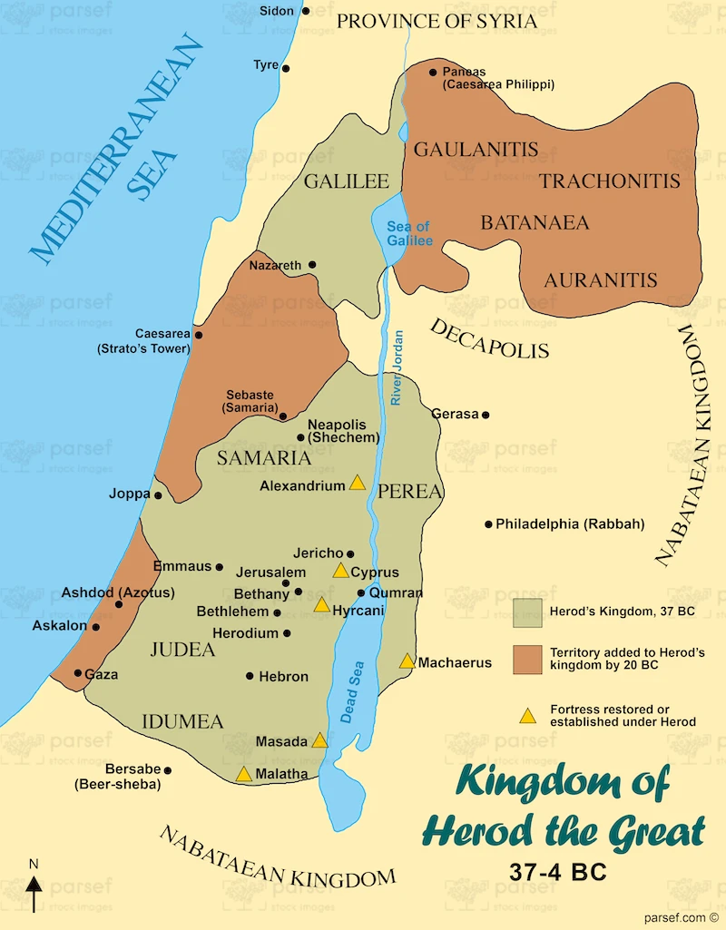
Herod the Great’s Kingdom Map: This map illustrates the kingdom of Herod the Great, including territories like Judea, Galilee, and Idumea. It highlights major cities such as Jerusalem and Caesarea. The map provides a view of the political landscape during Jesus’ birth.


Download High Resolution 300 DPI File Herod the Great’s Kingdom Map


Related Maps

Exodus from Egypt Map image
Read More

Exodus from Egypt Map

Exodus from Egypt Map: This map traces the route of the Israelites during their exodus from Egypt. It highlights key...
Read More

Israel and Judah Map image
Read More

Israel and Judah Map

Israel and Judah Map: This map shows the geographical locations of the kingdoms of Israel and Judah. It outlines the...
Read More

Kingdom of Jeroboam Map image
Read More

Kingdom of Jeroboam Map

Kingdom of Jeroboam Map: This map illustrates the kingdom of Israel under Jeroboam I after the division of the united...
Read More