Israel and Judah Color Map

Israel and Judah Map image

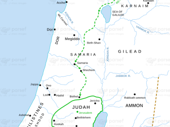
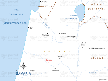
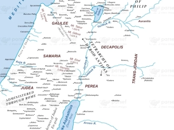
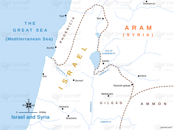
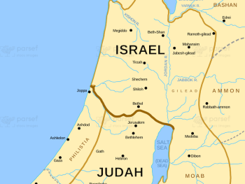
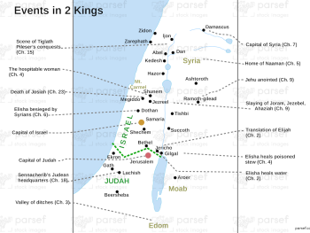
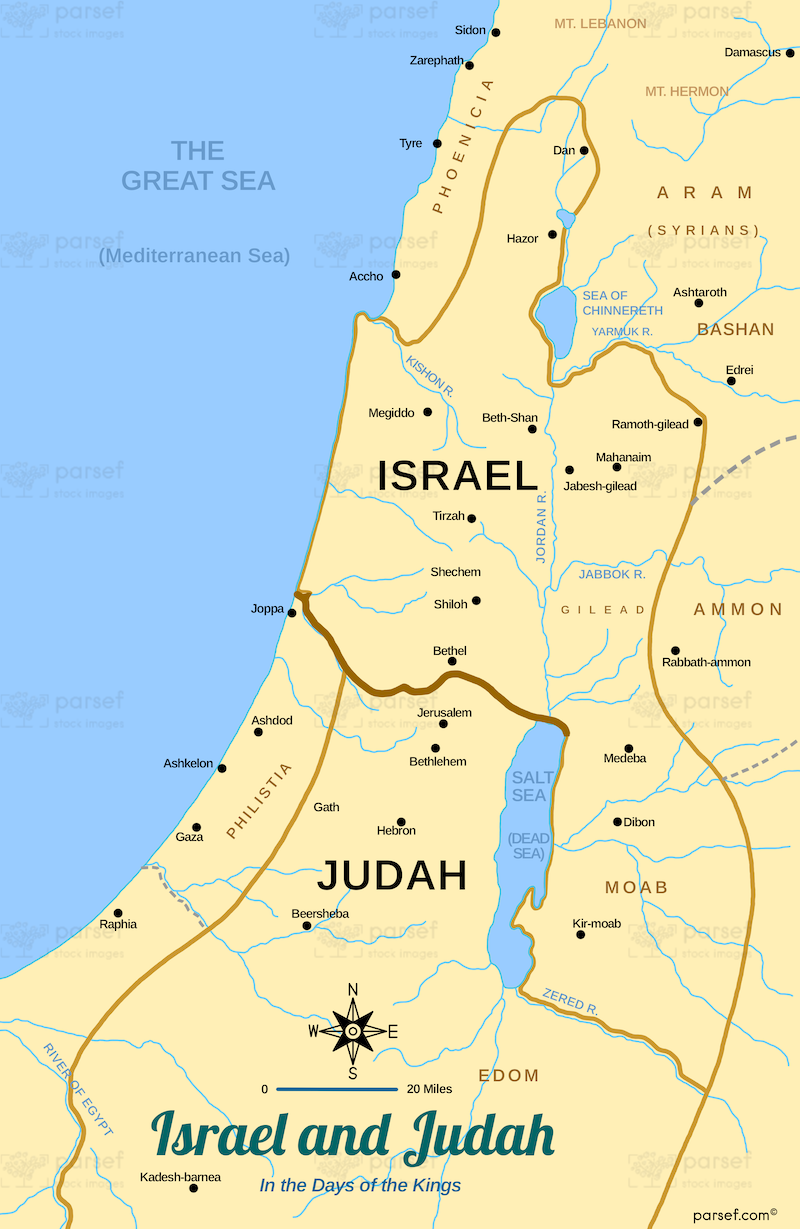
Israel and Judah Color Map: This map illustrates the territories of Israel and Judah, including their capitals, Jerusalem and Samaria. It highlights the division of the united monarchy after Solomon’s death. The map provides a visual reference for the political and geographical context of the divided kingdoms.


Download High Resolution 300 DPI File Israel and Judah Color Map


Related Maps

Amalekites Territory Map image
Read More

Amalekites Territory Map

Amalekites Territory Map: This map outlines the territory of the Amalekites, an ancient nomadic tribe mentioned in the Bible. It...
Read More

Roman World Maccabees Map image
Read More

Roman World Maccabees Map

Roman World Maccabees Map: This map focuses on the Roman Empire’s interaction with the Maccabean Kingdom during the 2nd century...
Read More

Kingdom of Jeroboam Map image
Read More

Kingdom of Jeroboam Map

Kingdom of Jeroboam Map: This map illustrates the kingdom of Israel under Jeroboam I after the division of the united...
Read More

Ancient Samaria Map image
Read More

Ancient Samaria Map

Ancient Samaria Map: Explore the territory of ancient Samaria, including key cities and landmarks. This map highlights Samaria’s role in...
Read More

Jabesh Gilead Map image
Read More

Jabesh Gilead Map

Jabesh Gilead Map: This map highlights the location of Jabesh Gilead, a city mentioned in the Bible during the time...
Read More