Roman World Maccabees Map

Roman World Maccabees Map image

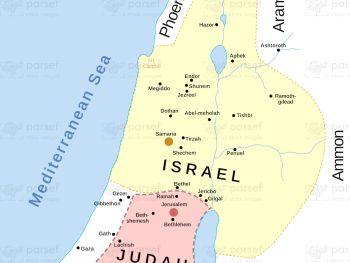
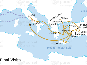
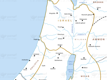
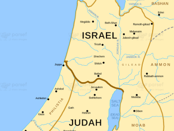
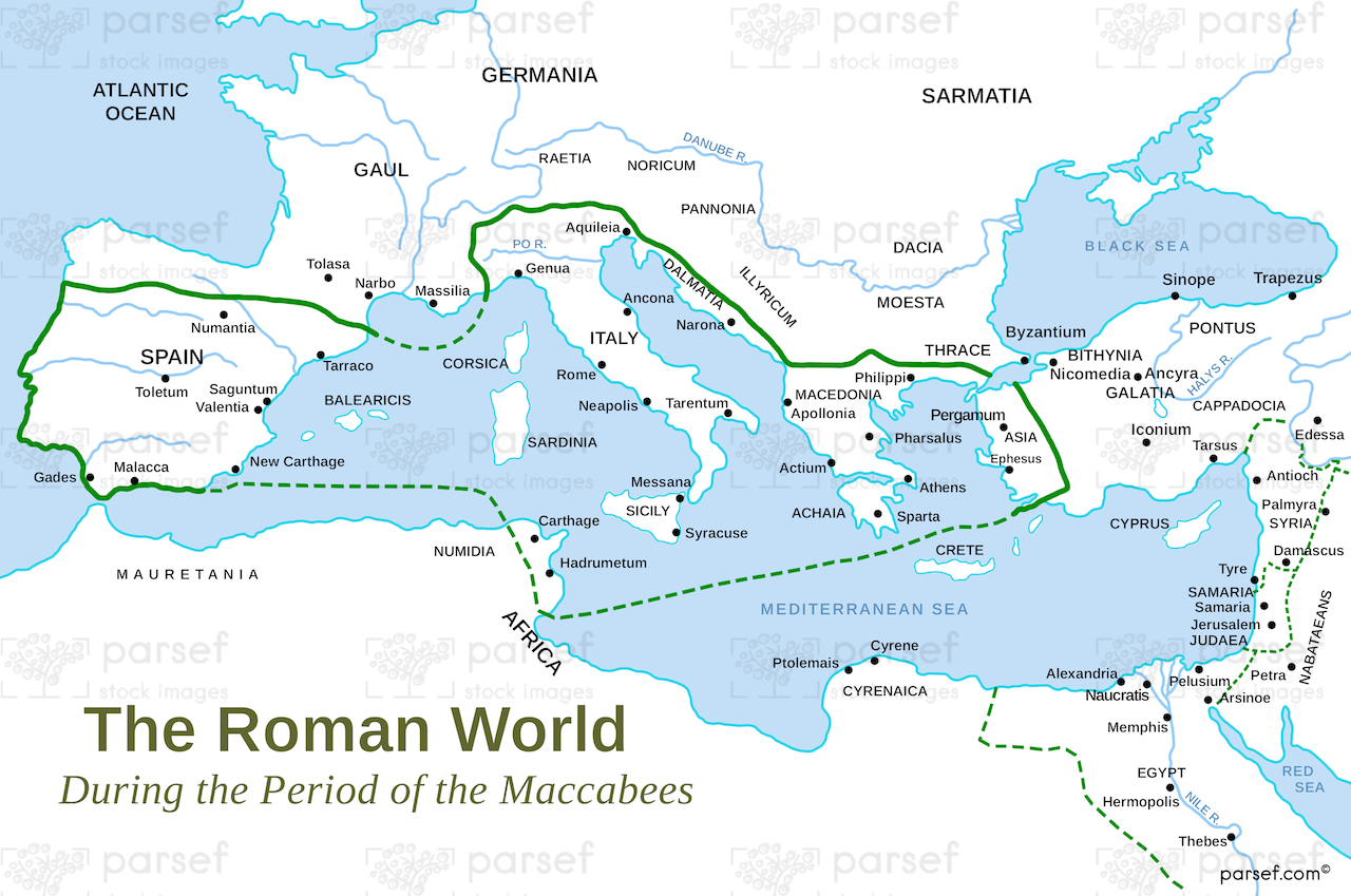
Roman World Maccabees Map: This map focuses on the Roman Empire’s interaction with the Maccabean Kingdom during the 2nd century BCE. It highlights the geopolitical context of Judea’s struggle for independence and the Roman influence in the region. The map provides insight into the historical background of the Hasmonean dynasty and its eventual downfall.


Download High Resolution 300 DPI File Roman World Maccabees Map


Related Maps

Ophir and Tarshish Map image
Read More

Ophir and Tarshish Map

Ophir and Tarshish Map: This map shows the locations of Ophir and Tarshish, two regions mentioned in the Bible as...
Read More

Israel and Judah Map image
Read More

Israel and Judah Map

Israel and Judah Map: This map shows the geographical locations of the kingdoms of Israel and Judah. It outlines the...
Read More

Samaria Map image
Read More

Samaria Map

Samaria Map: This map focuses on the region of Samaria, the capital of the northern kingdom of Israel. It shows...
Read More

The Red Sea Map image
Read More

The Red Sea Map

The Red Sea Map: This map highlights the Red Sea, a significant body of water in the Bible, particularly in...
Read More