Ancient Samaria Map

Ancient Samaria Map image

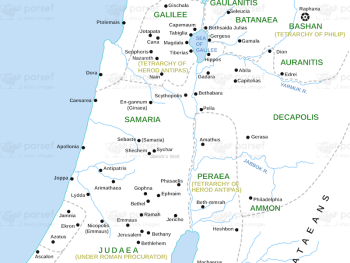
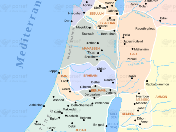
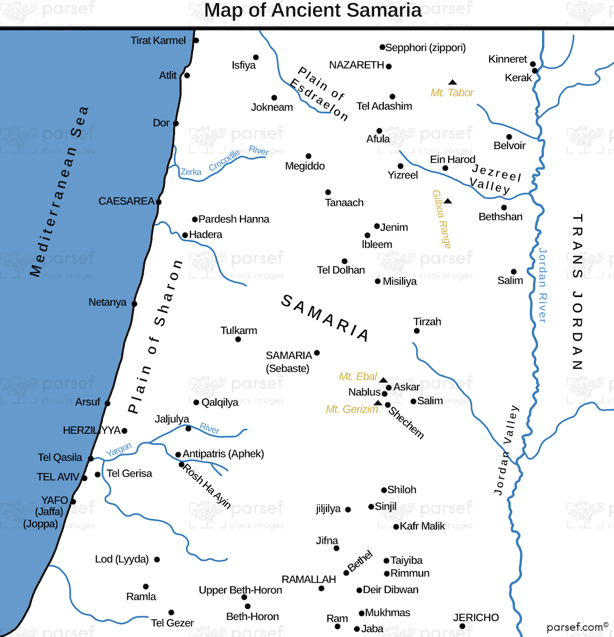
Ancient Samaria Map: Explore the territory of ancient Samaria, including key cities and landmarks. This map highlights Samaria’s role in the biblical narrative and its interactions with neighboring regions. It provides a visual representation of its historical significance.


Download High Resolution 300 DPI File Ancient Samaria Map


Related Maps

The Khabur River Map image
Read More

The Khabur River Map

The Khabur River Map: This map highlights the region surrounding the Khabur River, an important river in ancient Mesopotamia. It...
Read More

Babylonian Empire New image
Read More

Babylonian Empire New

Babylonian Empire New Map: This map depicts the New Babylonian (Chaldean) Empire, including its territories and capital, Babylon. It highlights...
Read More

Genesis the Hamites Map image
Read More

Genesis the Hamites Map

Genesis the Hamites Map: This map shows the regions settled by the descendants of Ham, including Canaan, Egypt, and Cush....
Read More

Ophir and Tarshish Map image
Read More

Ophir and Tarshish Map

Ophir and Tarshish Map: This map shows the locations of Ophir and Tarshish, two regions mentioned in the Bible as...
Read More

Idumea Map image
Read More

Idumea Map

Idumea Map: This map shows the region of Idumea, located south of Judea and associated with the descendants of Esau....
Read More