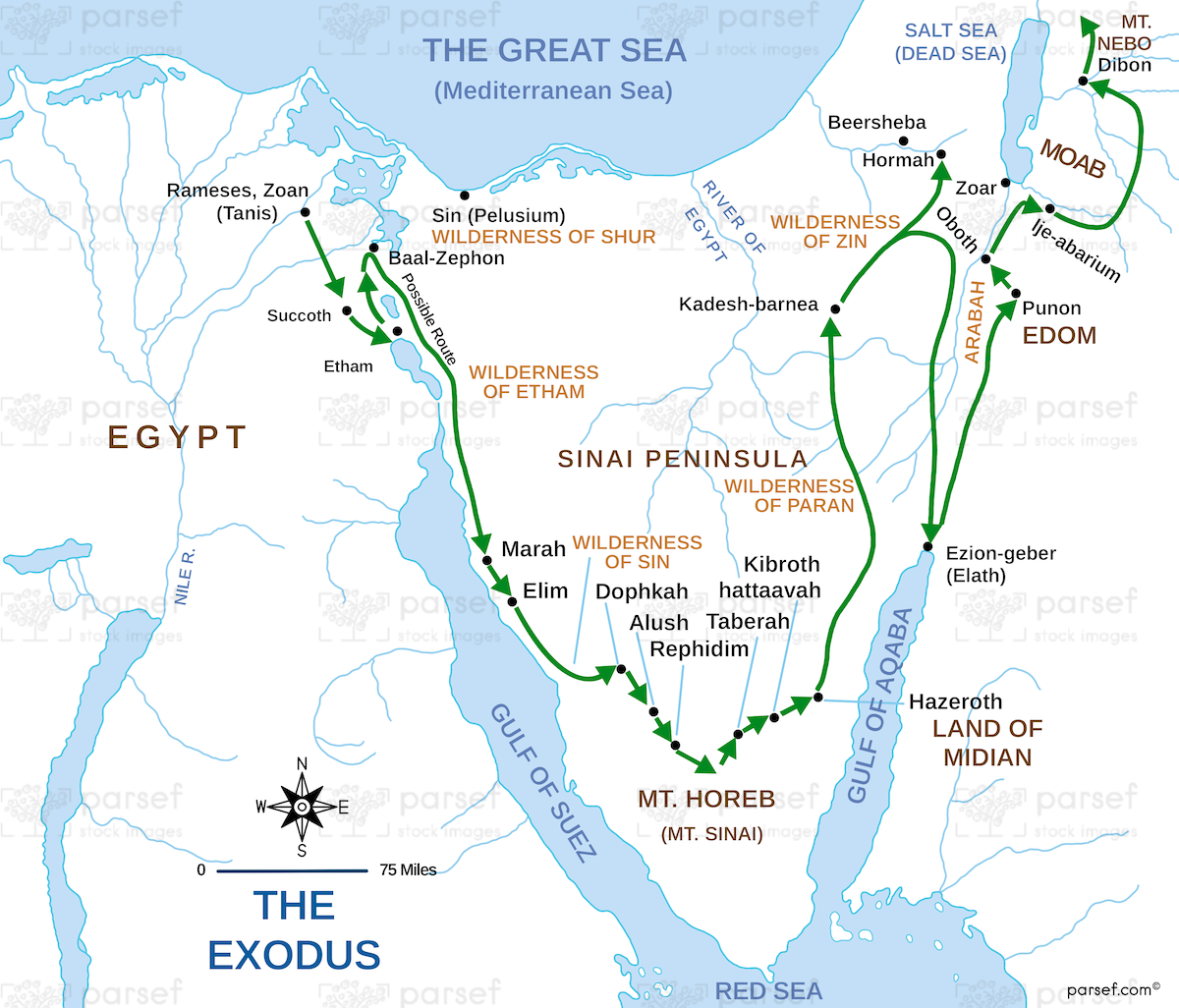
Exodus Route Map: This map traces the route of the Israelites from Egypt to the Promised Land. It includes key stops like Mount Sinai, Kadesh-Barnea, and the Jordan River. The map offers insight into their 40-year journey through the wilderness.

Exodus Route Map: This map traces the route of the Israelites from Egypt to the Promised Land. It includes key stops like Mount Sinai, Kadesh-Barnea, and the Jordan River. The map offers insight into their 40-year journey through the wilderness.
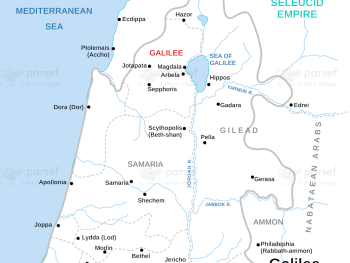
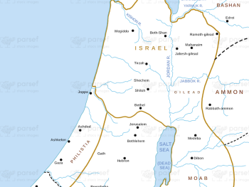
Galilee During Maccabees Map: This map depicts Galilee during the time of the Maccabees, highlighting significant cities and events. It...
Read More
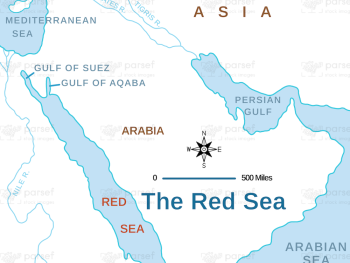
Exodus Red Sea Map: This map depicts the crossing of the Red Sea during the Israelites' exodus from Egypt. It...
Read More
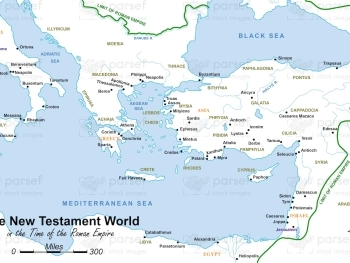
The New Testament World in the Time of the Roman Empire Map: This map illustrates the world of the New...
Read More
Syria at its Height Map: This map shows the extent of Syria’s territory at the height of its power, particularly...
Read More
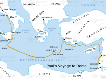
Acts Paul’s Voyage to Rome Map: This map illustrates Paul’s perilous journey to Rome as a prisoner. Key stops along...
Read More
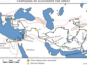
Alexander the Great’s Campaigns Map: This map traces the military campaigns of Alexander the Great across Asia and into Egypt....
Read More
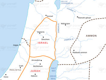
Israel and Judah Map: This map shows the geographical locations of the kingdoms of Israel and Judah. It outlines the...
Read More
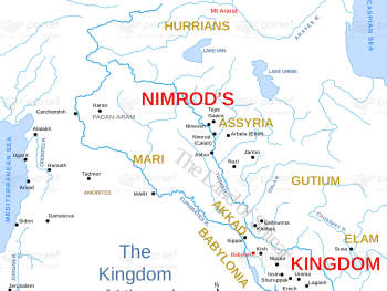
Genesis Kingdom of Nimrod Map: This map highlights the kingdom of Nimrod, a descendant of Ham, and his cities, such...
Read More
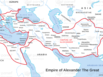
Empire of Alexander The Great Map: This map showcases the full extent of Alexander the Great’s empire, from Greece to...
Read More
Deuteronomy Island of Caphtor Map: This map highlights the location of Caphtor, believed to be the homeland of the Philistines....
Read More
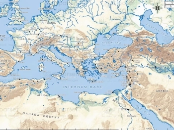
The Extent of the Ancient Mediterranean World Map: This map shows the geographical boundaries of the ancient Mediterranean world, including...
Read More
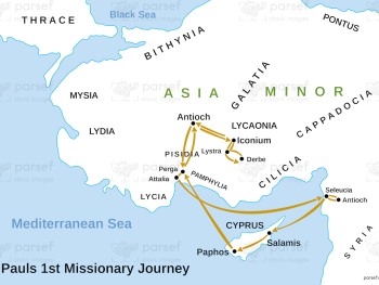
Acts Paul’s First Missionary Journey Map: Follow Paul’s first missionary journey as he spreads the Christian faith. This map showcases...
Read More