Israel Under the Maccabees Map

Israel Under the Maccabees Map image

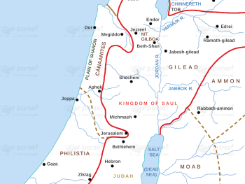
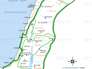
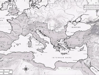
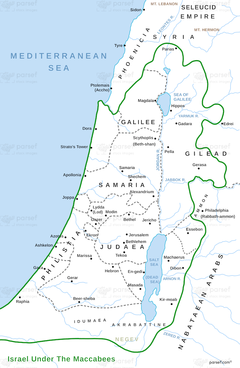
Israel Under the Maccabees Map: This map depicts Israel during the time of the Maccabees, focusing on the region’s expansion and battles for independence. It includes key locations like Jerusalem and the Hasmonean kingdom’s borders. The map provides context for the Jewish revolt against Greek rule.


Download High Resolution 300 DPI File Israel Under the Maccabees Map


Related Maps

Babylonian Empire New image
Read More

Babylonian Empire New

Babylonian Empire New Map: This map depicts the New Babylonian (Chaldean) Empire, including its territories and capital, Babylon. It highlights...
Read More

Zorah Map image
Read More

Zorah Map

Zorah Map: This map shows the location of Zorah, a city in the territory of Dan, which plays a role...
Read More

Amorites Territory Map image
Read More

Amorites Territory Map

Amorites Territory Map: Explore the lands of the Amorites, an ancient Semitic-speaking people. This map shows their territorial boundaries and...
Read More

Amos Judah Map image
Read More

Amos Judah Map

Amos Judah Map: This map focuses on the regions of Judah mentioned in the Book of Amos. It highlights key...
Read More