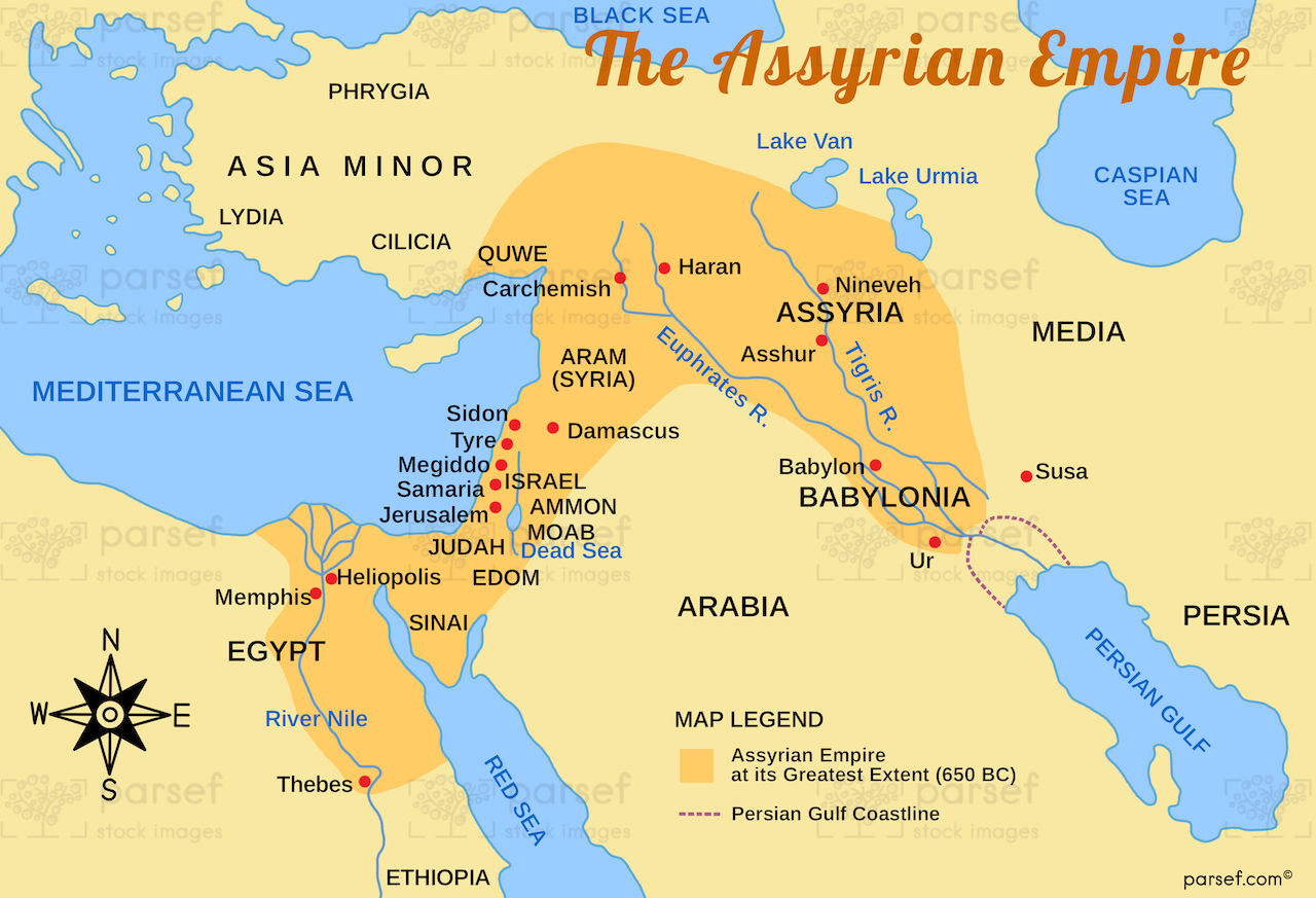
Assyrian Empire Map: Explore the vast expanse of the Assyrian Empire at its height. This map includes major cities, trade routes, and regions under Assyrian control. It showcases the empire’s dominance in the ancient Near East.

Assyrian Empire Map: Explore the vast expanse of the Assyrian Empire at its height. This map includes major cities, trade routes, and regions under Assyrian control. It showcases the empire’s dominance in the ancient Near East.
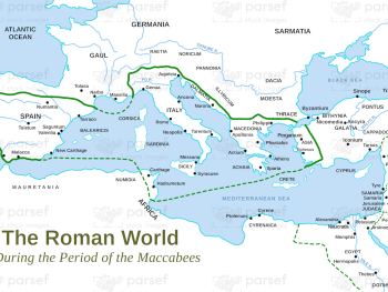
Roman World Maccabees Map: This map focuses on the Roman Empire’s interaction with the Maccabean Kingdom during the 2nd century...
Read More
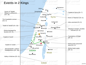
Events in 2 Kings Map: This map highlights the key events and locations mentioned in the Book of 2 Kings....
Read More
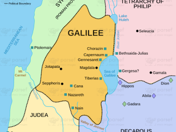
Galilee in the Time of Jesus Map: This map focuses on Galilee during Jesus’ ministry, highlighting key cities such as...
Read More
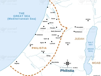
Joshua Philistia Map: This map shows the territory of the Philistines during the time of Joshua. It highlights key cities...
Read More
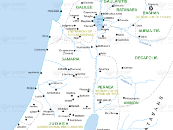
Matthew Divisions of Herod’s Kingdom Map: This map shows the divisions of Herod the Great’s kingdom as outlined in the...
Read More
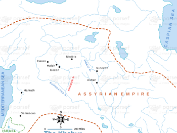
The Khabur River Map: This map highlights the region surrounding the Khabur River, an important river in ancient Mesopotamia. It...
Read More
Judah at the Time of Amos Map: This map shows the kingdom of Judah during the time of the prophet...
Read More
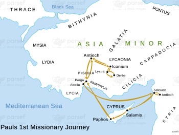
Paul’s 1st Missionary Journey Map: This map traces the path of Paul’s first missionary journey, from Antioch to various regions...
Read More
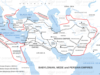
Babylonian, Mede, and Persian Empires Map: This map illustrates the overlapping territories of the Babylonian, Median, and Persian empires. It...
Read More
Amos Judah Map: This map focuses on the regions of Judah mentioned in the Book of Amos. It highlights key...
Read More
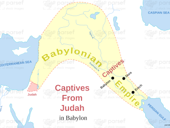
Captives From Judah in Babylon Map: This map illustrates the regions associated with the Babylonian exile of Judah’s captives. It...
Read More
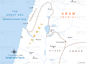
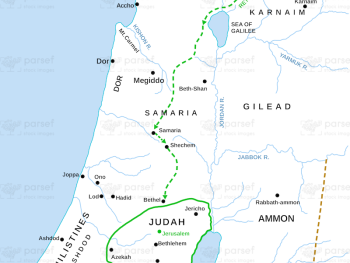
Israel and Syria Map: This map highlights the relations between Israel and Syria, especially during periods of conflict and alliances....
Read More