Egypt in Bible Times Map

Egypt in Bible Times Map image

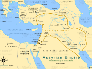
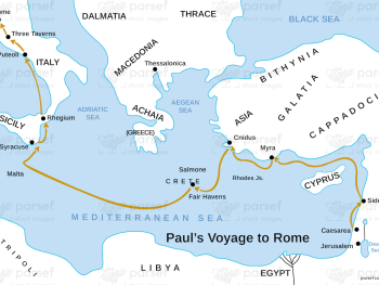
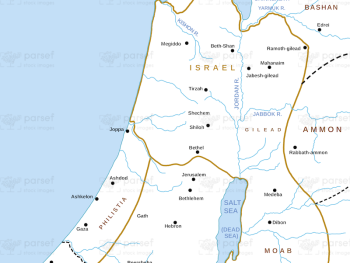
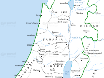
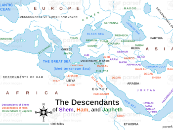
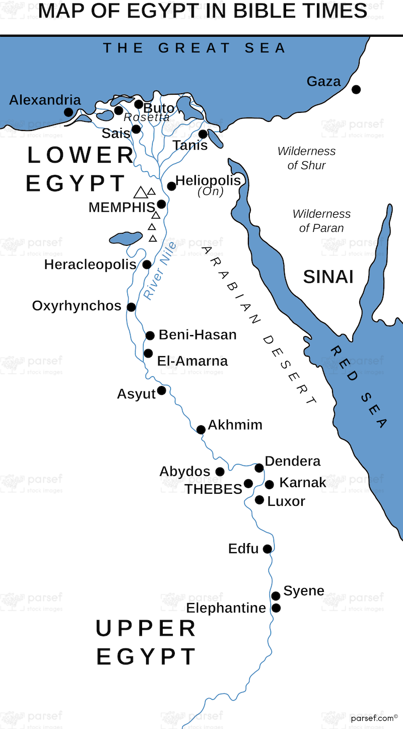
Egypt in Bible Times Map: This map outlines Egypt’s geography and its significance during biblical times. It includes major cities, trade routes, and landmarks such as the Nile River. The map provides context for Egypt’s role in the Old and New Testaments.


Download High Resolution 300 DPI File Egypt in Bible Times Map


Related Maps

Asia in Roman Times Map image
Read More

Asia in Roman Times Map

Asia in Roman Times Map: This map highlights the province of Asia during Roman rule. It includes major cities, trade...
Read More

Exodus Red Sea Map image
Read More

Exodus Red Sea Map

Exodus Red Sea Map: This map depicts the crossing of the Red Sea during the Israelites' exodus from Egypt. It...
Read More