Twelve Tribes of Israel Topographical Map

Twelve Tribes of Israel Topographical Map image

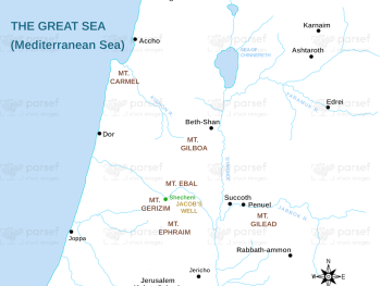
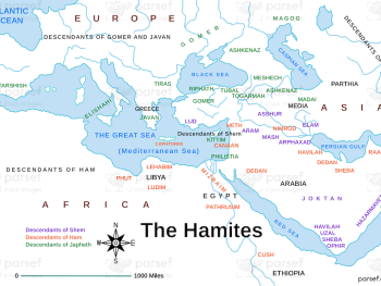
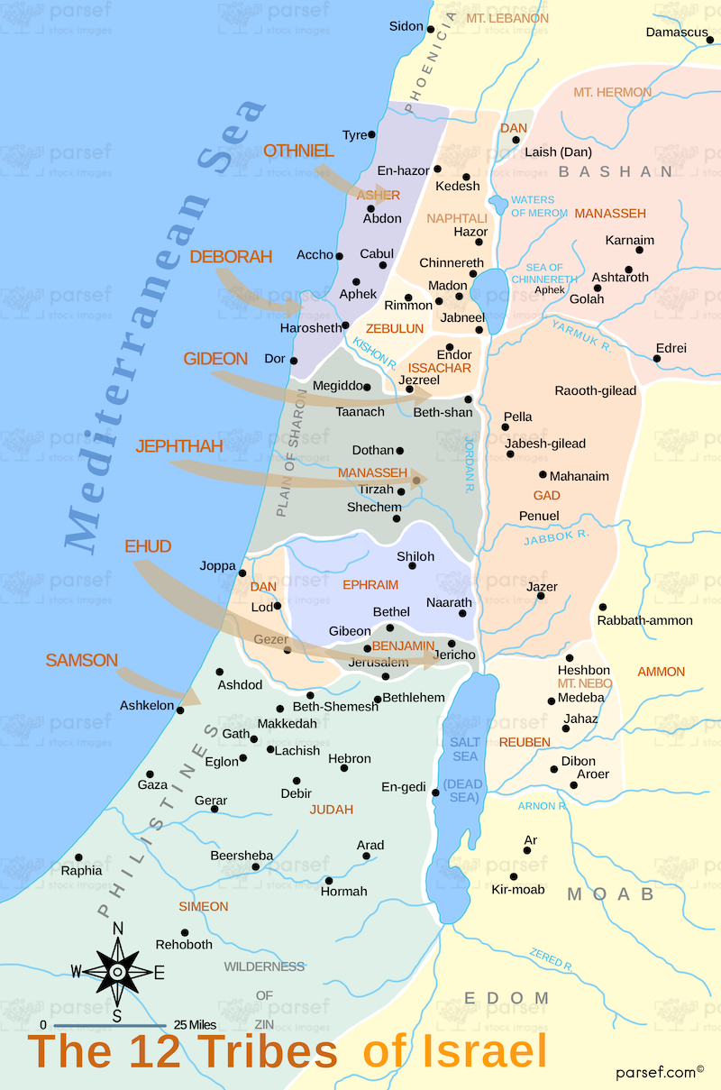
Twelve Tribes of Israel Topographical Map: This map shows the topographical features of the land allotted to the twelve tribes of Israel. It highlights the geographical features such as mountains, valleys, and rivers that shaped the settlement patterns of the Israelites. The map provides insight into how the land’s terrain influenced the tribe’s lives and military strategies.


Download High Resolution 300 DPI File Twelve Tribes of Israel Topographical Map


Related Maps

Michmash Map image
Read More

Michmash Map

Michmash Map: This map focuses on the town of Michmash, a key location during the time of Saul and Jonathan....
Read More

Kingdom of Saul Map image
Read More

Kingdom of Saul Map

Kingdom of Saul Map: This map shows the kingdom of Israel under King Saul, the first king of Israel. It...
Read More

Israel and Judah Map image
Read More

Israel and Judah Map

Israel and Judah Map: This map shows the geographical locations of the kingdoms of Israel and Judah. It outlines the...
Read More

Ancient Nubia Map image
Read More

Ancient Nubia Map

Ancient Nubia Map: This map showcases the region of ancient Nubia, located south of Egypt. It highlights the Kingdom of...
Read More