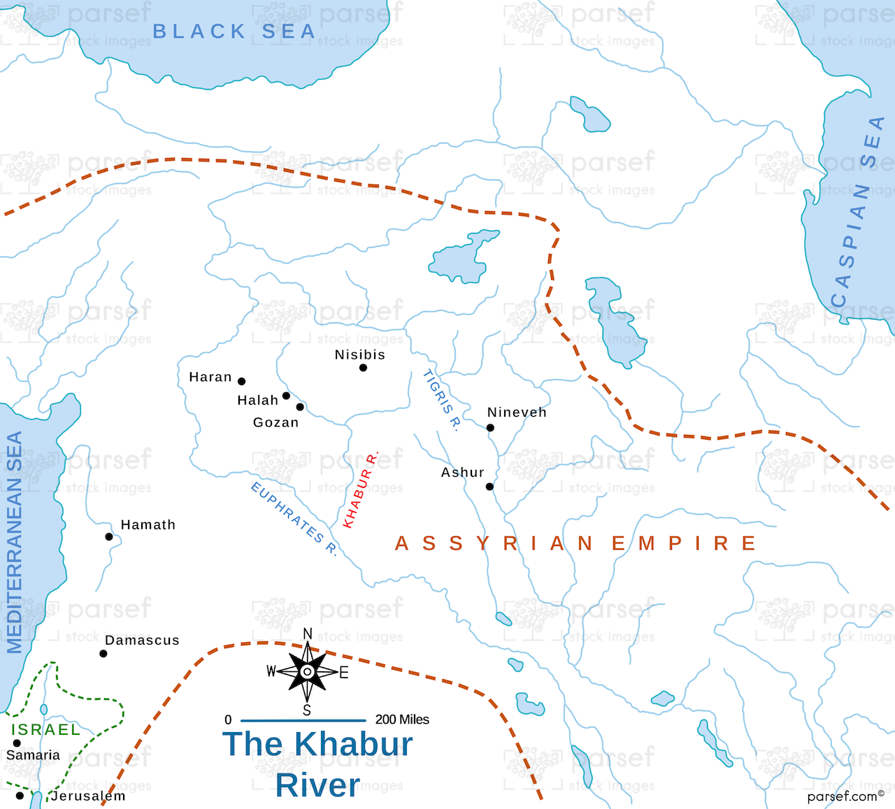
The Khabur River Map: This map highlights the region surrounding the Khabur River, an important river in ancient Mesopotamia. It shows the location of key cities and settlements in the area, including ancient Assyrian and Aramean cities. The map provides context for the history and archaeology of the Khabur River region, which was central to various ancient cultures.