The Extent Of The Ancient Mediterranean World Map

The Extent Of The Ancient Mediterranean World Map image

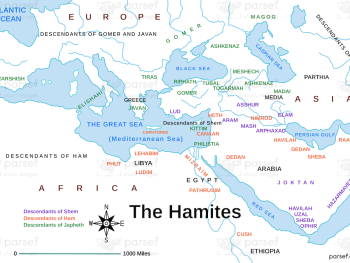
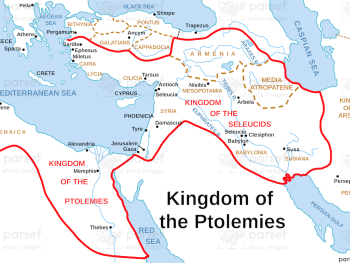
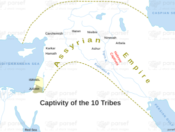
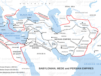
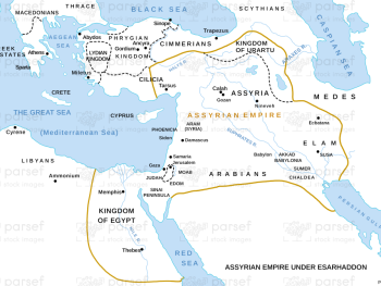
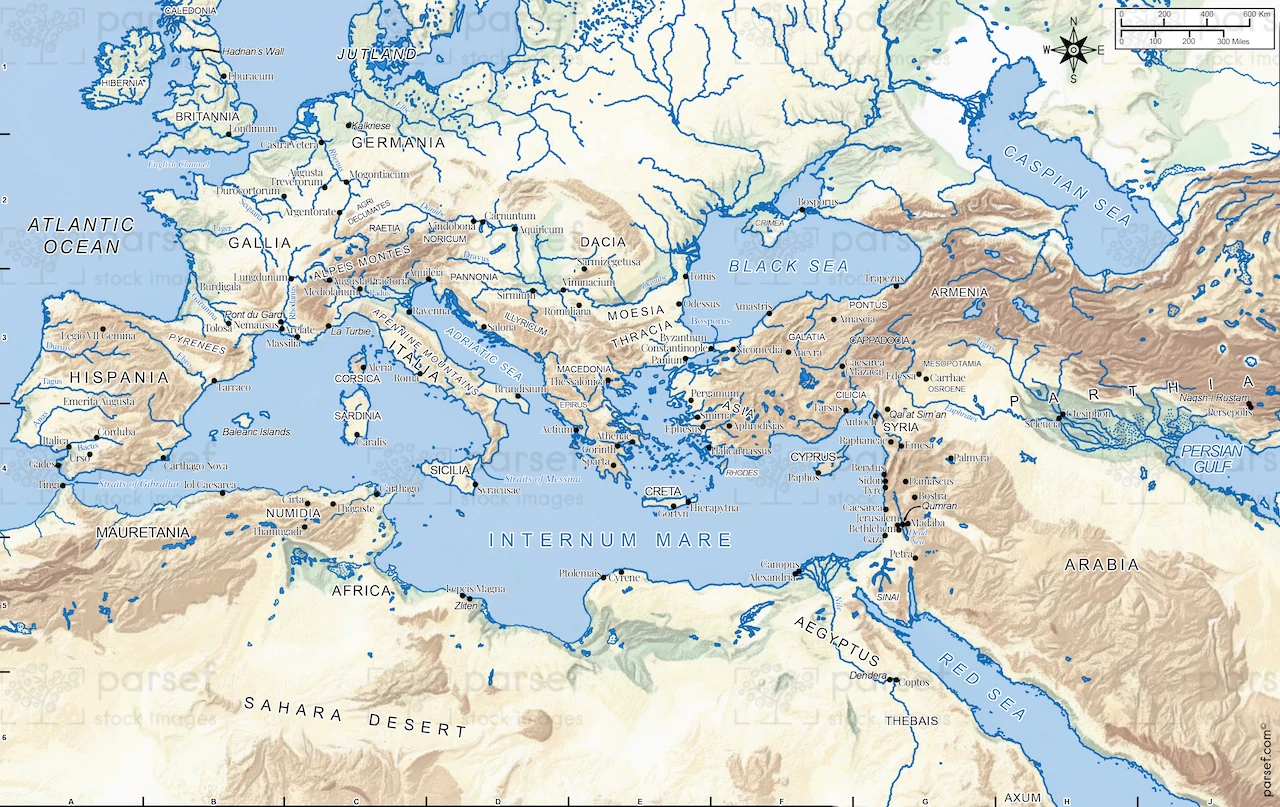
The Extent of the Ancient Mediterranean World Map: This map shows the geographical boundaries of the ancient Mediterranean world, including the Greek, Roman, and Phoenician territories. It highlights the regions around the Mediterranean Sea, such as Egypt, Anatolia, and North Africa. The map offers insight into the interconnectedness of the ancient civilizations surrounding the Mediterranean.


Download High Resolution 300 DPI File The Extent Of The Ancient Mediterranean World Map


Related Maps

Genesis the Hamites Map image
Read More

Genesis the Hamites Map

Genesis the Hamites Map: This map shows the regions settled by the descendants of Ham, including Canaan, Egypt, and Cush....
Read More

Jabesh Gilead Map image
Read More

Jabesh Gilead Map

Jabesh Gilead Map: This map highlights the location of Jabesh Gilead, a city mentioned in the Bible during the time...
Read More

Canaanite Nations Map image
Read More

Canaanite Nations Map

Canaanite Nations Map: This map highlights the locations and territories of the Canaanite nations mentioned in the Bible. It shows...
Read More

Kirjath Jearim Map image
Read More

Kirjath Jearim Map

Kirjath Jearim Map: This map focuses on the city of Kirjath Jearim, an important location in the Bible, particularly in...
Read More