Nahum Assyrian Empire Map

Nahum Assyrian Empire Map image

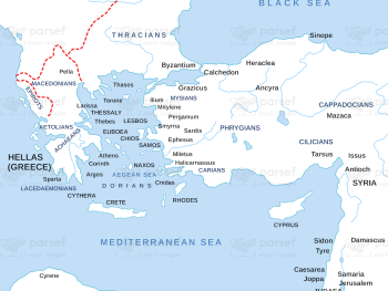
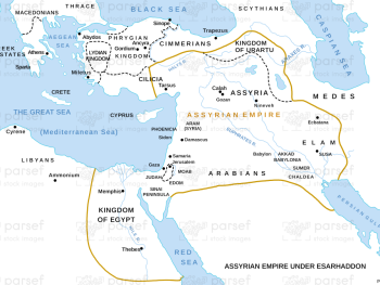
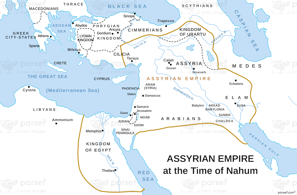
Nahum Assyrian Empire Map: This map illustrates the Assyrian Empire during the time of the prophet Nahum. It highlights key cities such as Nineveh and its vast territorial reach. The map helps to understand Nahum’s prophecies concerning the downfall of Nineveh and the Assyrian Empire.


Download High Resolution 300 DPI File Nahum Assyrian Empire Map


Related Maps

Roman World Maccabees Map image
Read More

Roman World Maccabees Map

Roman World Maccabees Map: This map focuses on the Roman Empire’s interaction with the Maccabean Kingdom during the 2nd century...
Read More

Joshua Philistia Map image
Read More

Joshua Philistia Map

Joshua Philistia Map: This map shows the territory of the Philistines during the time of Joshua. It highlights key cities...
Read More

Israel and Judah Color Map image
Read More

Israel and Judah Color Map

Israel and Judah Color Map: This map illustrates the territories of Israel and Judah, including their capitals, Jerusalem and Samaria....
Read More

Genesis the Hamites Map image
Read More

Genesis the Hamites Map

Genesis the Hamites Map: This map shows the regions settled by the descendants of Ham, including Canaan, Egypt, and Cush....
Read More

Ancient Nubia Map image
Read More

Ancient Nubia Map

Ancient Nubia Map: This map showcases the region of ancient Nubia, located south of Egypt. It highlights the Kingdom of...
Read More