The Red Sea Map

The Red Sea Map image

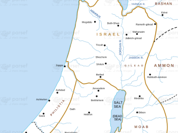
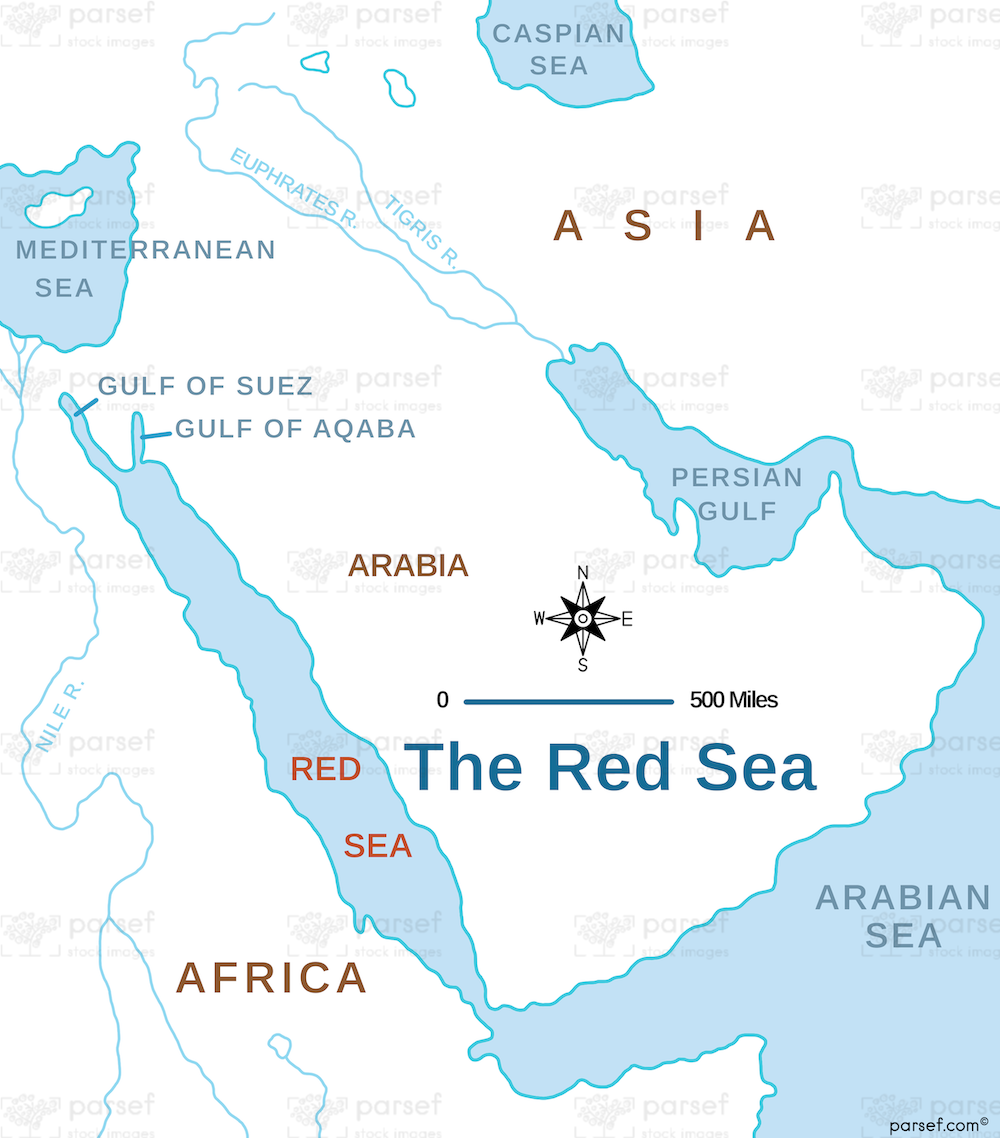
The Red Sea Map: This map highlights the Red Sea, a significant body of water in the Bible, particularly in the Exodus story. It shows key locations such as Egypt, the Sinai Peninsula, and the Gulf of Aqaba. The map provides context for the route of the Israelites’ escape from Egypt and their journey to the Promised Land.


Download High Resolution 300 DPI File The Red Sea Map


Related Maps

Assyrian Empire Map image
Read More

Assyrian Empire Map

Assyrian Empire Map: Explore the vast expanse of the Assyrian Empire at its height. This map includes major cities, trade...
Read More

Michmash Map image
Read More

Michmash Map

Michmash Map: This map focuses on the town of Michmash, a key location during the time of Saul and Jonathan....
Read More

Ancient Nubia Map image
Read More

Ancient Nubia Map

Ancient Nubia Map: This map showcases the region of ancient Nubia, located south of Egypt. It highlights the Kingdom of...
Read More