The World During the 6th Century BC Map

The World During the 6th Century BC Map image

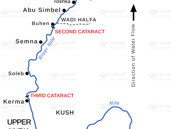
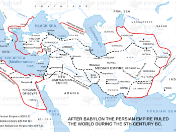
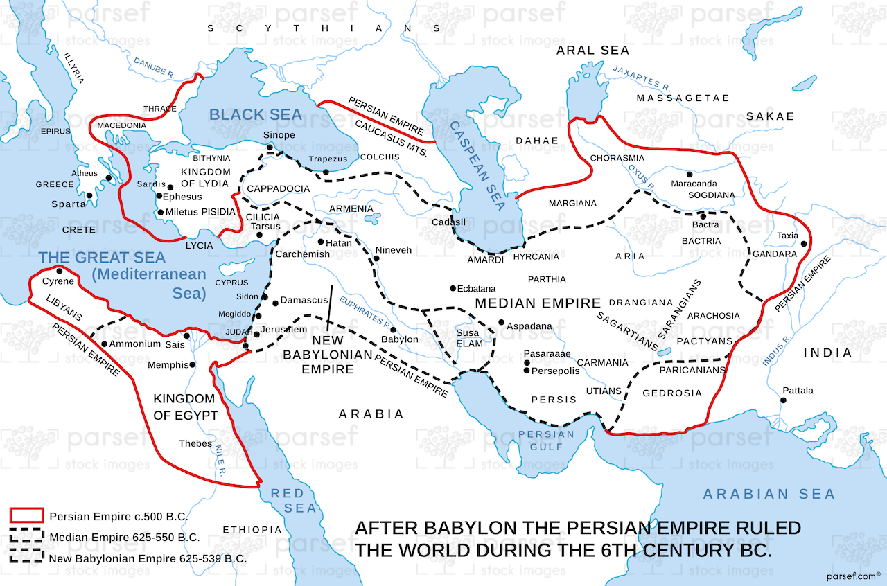
The World During the 6th Century BC Map: This map shows the geopolitical landscape of the ancient world during the 6th century BCE. It includes the major empires of the time, such as the Babylonian, Persian, and Egyptian empires. The map provides context for the events recorded in the books of Daniel, Ezekiel, and the later stages of the Old Testament.


Download High Resolution 300 DPI File The World During the 6th Century BC Map


Related Maps

Israel and Syria Map image
Read More

Israel and Syria Map

Israel and Syria Map: This map highlights the relations between Israel and Syria, especially during periods of conflict and alliances....
Read More

Michmash Map image
Read More

Michmash Map

Michmash Map: This map focuses on the town of Michmash, a key location during the time of Saul and Jonathan....
Read More