Kirjath Jearim Map

Kirjath Jearim Map image

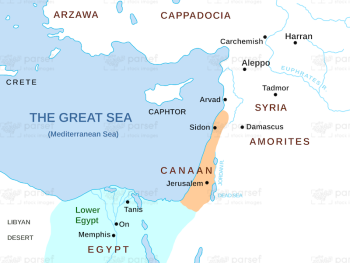
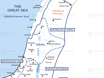
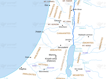
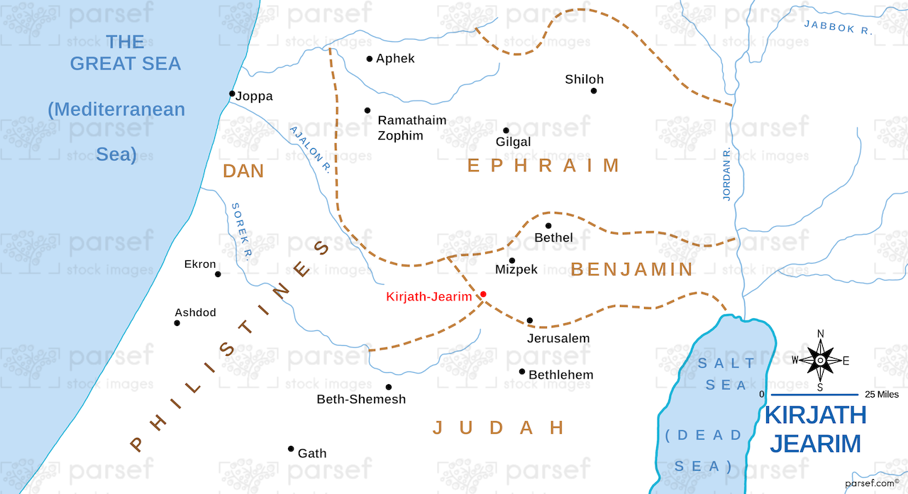
Kirjath Jearim Map: This map focuses on the city of Kirjath Jearim, an important location in the Bible, particularly in the story of the Ark of the Covenant. It shows the city’s proximity to Jerusalem and the surrounding areas. The map provides insight into the Ark’s temporary residence before being moved to Jerusalem.


Download High Resolution 300 DPI File Kirjath Jearim Map


Related Maps

Michmash Map image
Read More

Michmash Map

Michmash Map: This map focuses on the town of Michmash, a key location during the time of Saul and Jonathan....
Read More

Amos Judah Map image
Read More

Amos Judah Map

Amos Judah Map: This map focuses on the regions of Judah mentioned in the Book of Amos. It highlights key...
Read More

Asia in Roman Times Map image
Read More

Asia in Roman Times Map

Asia in Roman Times Map: This map highlights the province of Asia during Roman rule. It includes major cities, trade...
Read More

Exodus Red Sea Map image
Read More

Exodus Red Sea Map

Exodus Red Sea Map: This map depicts the crossing of the Red Sea during the Israelites' exodus from Egypt. It...
Read More

Kingdom of Jeroboam Map image
Read More

Kingdom of Jeroboam Map

Kingdom of Jeroboam Map: This map illustrates the kingdom of Israel under Jeroboam I after the division of the united...
Read More

Roman World Maccabees Map image
Read More

Roman World Maccabees Map

Roman World Maccabees Map: This map focuses on the Roman Empire’s interaction with the Maccabean Kingdom during the 2nd century...
Read More