Galilee in the Time of Jesus Map

Galilee in the Time of Jesus Map image

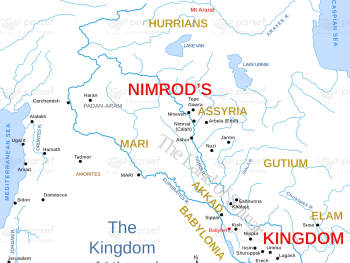
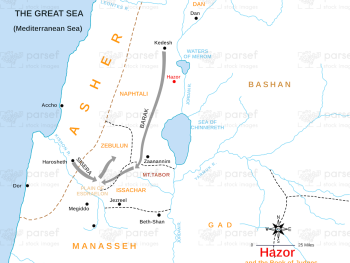
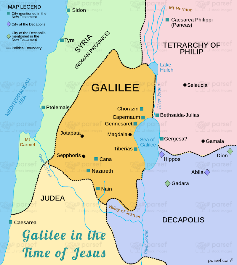
Galilee in the Time of Jesus Map: This map focuses on Galilee during Jesus’ ministry, highlighting key cities such as Nazareth, Capernaum, and Cana. It provides a geographical context for the events of the Gospels. The map offers insight into the region’s social and religious dynamics.


Download High Resolution 300 DPI File Galilee in the Time of Jesus Map


Related Maps

Israel and Judah Color Map image
Read More

Israel and Judah Color Map

Israel and Judah Color Map: This map illustrates the territories of Israel and Judah, including their capitals, Jerusalem and Samaria....
Read More

Exodus Red Sea Map image
Read More

Exodus Red Sea Map

Exodus Red Sea Map: This map depicts the crossing of the Red Sea during the Israelites' exodus from Egypt. It...
Read More

Exodus from Egypt Map image
Read More

Exodus from Egypt Map

Exodus from Egypt Map: This map traces the route of the Israelites during their exodus from Egypt. It highlights key...
Read More