Ophir and Tarshish Map

Ophir and Tarshish Map image

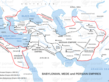
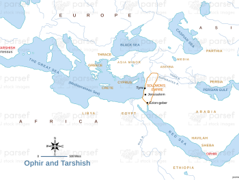
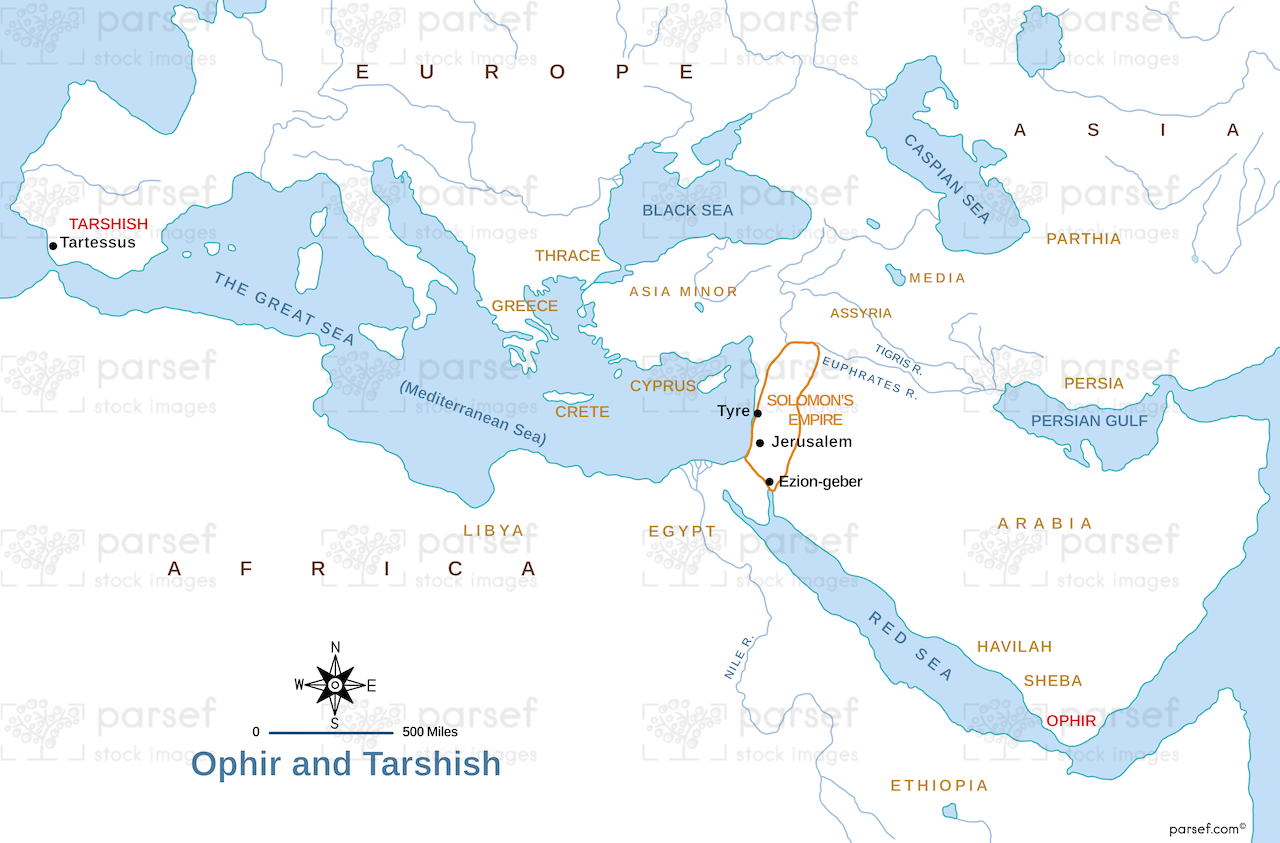
Ophir and Tarshish Map: This map shows the locations of Ophir and Tarshish, two regions mentioned in the Bible as sources of wealth. It highlights the trade routes that connected Israel with these distant lands. The map provides insight into the biblical accounts of King Solomon’s trading expeditions.


Download High Resolution 300 DPI File Ophir and Tarshish Map


Related Maps

Exodus Red Sea Map image
Read More

Exodus Red Sea Map

Exodus Red Sea Map: This map depicts the crossing of the Red Sea during the Israelites' exodus from Egypt. It...
Read More

Michmash Map image
Read More

Michmash Map

Michmash Map: This map focuses on the town of Michmash, a key location during the time of Saul and Jonathan....
Read More