
Exodus Red Sea Map: This map depicts the crossing of the Red Sea during the Israelites' exodus from Egypt. It highlights possible routes and the location of key landmarks. The map provides a visual representation of this miraculous event.
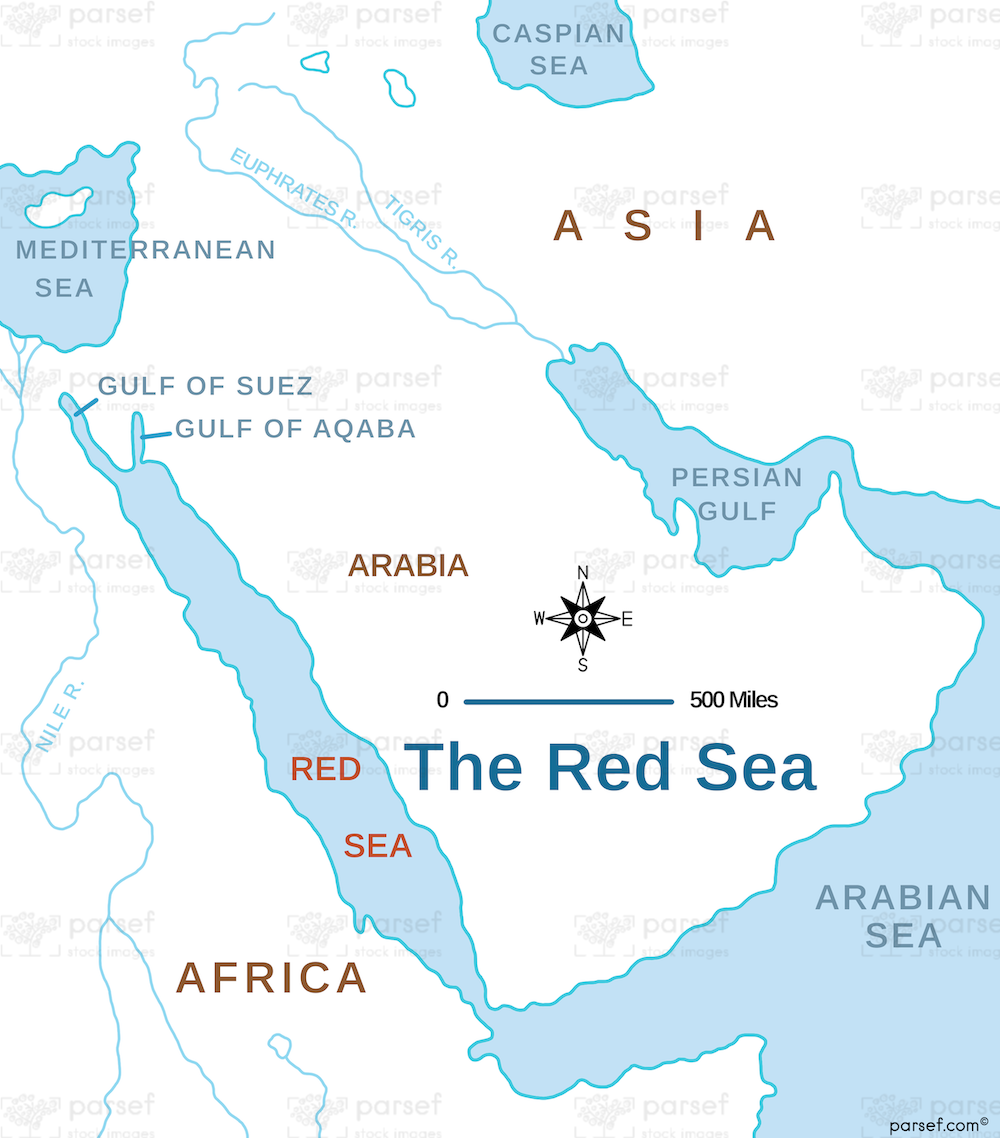
Exodus Red Sea Map: This map depicts the crossing of the Red Sea during the Israelites' exodus from Egypt. It highlights possible routes and the location of key landmarks. The map provides a visual representation of this miraculous event.
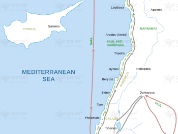
Acts Journeys Apostles Map: Explore the routes taken by the apostles during their journeys as described in the Book of...
Read More
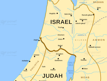
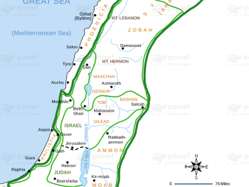
Israel and Judah Color Map: This map illustrates the territories of Israel and Judah, including their capitals, Jerusalem and Samaria....
Read More
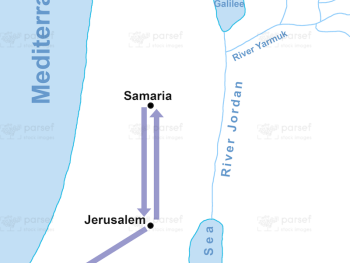
Phillip Journeys to Samaria and Gaza Map: This map tracks the journey of Philip the Evangelist to Samaria and Gaza...
Read More
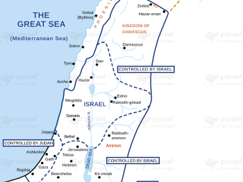
Kingdom of Jeroboam Map: This map illustrates the kingdom of Israel under Jeroboam I after the division of the united...
Read More
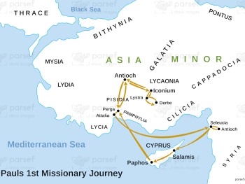
Paul’s 1st Missionary Journey Map: This map traces the path of Paul’s first missionary journey, from Antioch to various regions...
Read More
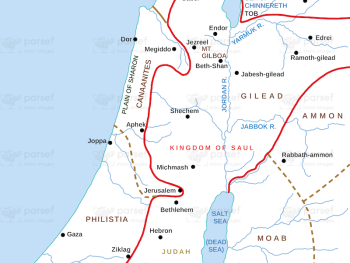
Kingdom of Saul Map: This map shows the kingdom of Israel under King Saul, the first king of Israel. It...
Read More
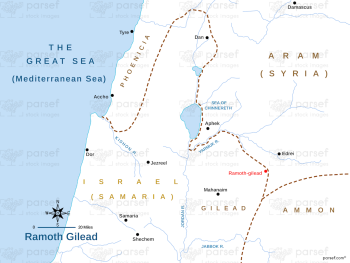
Ramoth Gilead Map: This map illustrates the location of Ramoth Gilead, a city mentioned in the Bible as a significant...
Read More
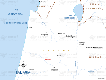
Samaria Map: This map focuses on the region of Samaria, the capital of the northern kingdom of Israel. It shows...
Read More
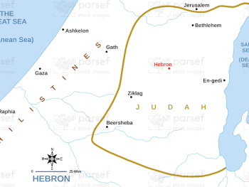
Hebron Map: This map focuses on the city of Hebron, a significant location in both the Old and New Testaments....
Read More
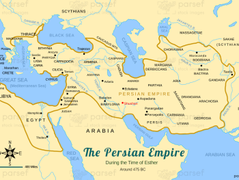
Persian Empire around 475 BC Map: This map shows the extent of the Persian Empire around 475 BCE, at its...
Read More
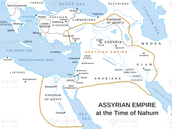
Assyrian Empire at the Time of Nahum Map: This map depicts the Assyrian Empire during the time of the prophet...
Read More
I Chronicles Empires of David and Solomon Map: This map shows the vast empires ruled by David and Solomon, as...
Read More