Provinces of the Roman Empire 70 – 120 AD Map

Provinces of the Roman Empire 70 – 120 AD Map image

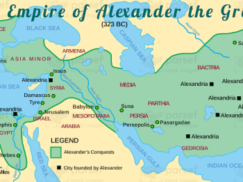
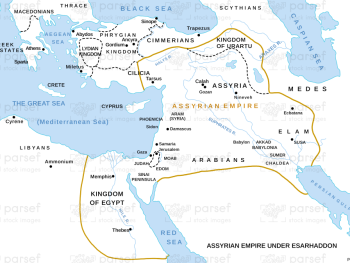
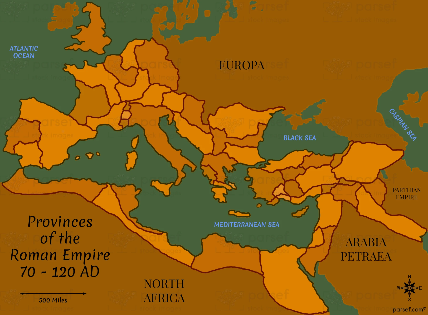
Provinces of the Roman Empire 70 – 120 AD Map: This map illustrates the territorial organization of the Roman Empire during the 1st and early 2nd centuries AD. It highlights key provinces such as Judea, Galatia, and Egypt. The map provides context for the Roman governance and the empire’s expansive reach during the time of the apostles.


Download High Resolution 300 DPI File Provinces of the Roman Empire 70 – 120 AD Map


Related Maps

Genesis Shem Ham Japheth Map image
Read More

Genesis Shem Ham Japheth Map

Genesis Shem Ham Japheth Map: This map shows the descendants of Noah’s sons—Shem, Ham, and Japheth—and their settlements. It highlights...
Read More

Exodus from Egypt Map image
Read More

Exodus from Egypt Map

Exodus from Egypt Map: This map traces the route of the Israelites during their exodus from Egypt. It highlights key...
Read More

Ancient Nubia Map image
Read More

Ancient Nubia Map

Ancient Nubia Map: This map showcases the region of ancient Nubia, located south of Egypt. It highlights the Kingdom of...
Read More