Syria at its Height Map

Syria at its Height Map image

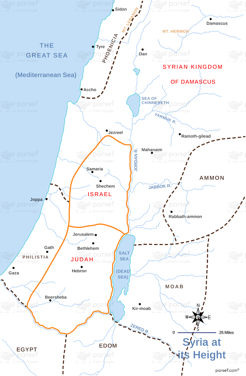
Syria at its Height Map: This map shows the extent of Syria’s territory at the height of its power, particularly during the period of the Seleucid Empire. It highlights key cities like Antioch and the regions of Syria’s control, including parts of Asia Minor and Mesopotamia. The map provides insight into Syria’s political and military influence during the Hellenistic era.


Download High Resolution 300 DPI File Syria at its Height Map


Related Maps

Israel and Judah Map image
Read More

Israel and Judah Map

Israel and Judah Map: This map shows the geographical locations of the kingdoms of Israel and Judah. It outlines the...
Read More

Ancient Nubia Map image
Read More

Ancient Nubia Map

Ancient Nubia Map: This map showcases the region of ancient Nubia, located south of Egypt. It highlights the Kingdom of...
Read More

Assyrian Empire Map image
Read More

Assyrian Empire Map

Assyrian Empire Map: Explore the vast expanse of the Assyrian Empire at its height. This map includes major cities, trade...
Read More