Palestine in New Testament Times 300dpi Map

Palestine in New Testament Times 300dpi Map image

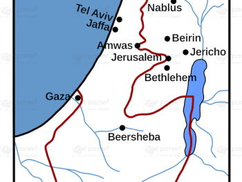
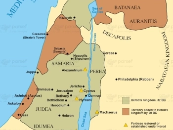
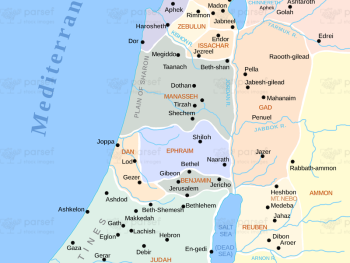
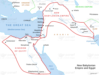
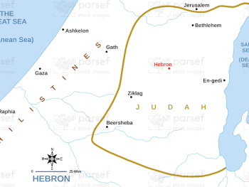
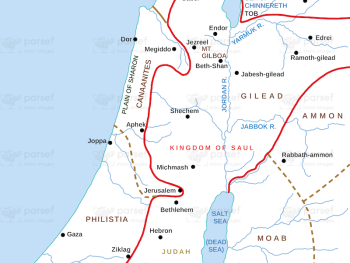
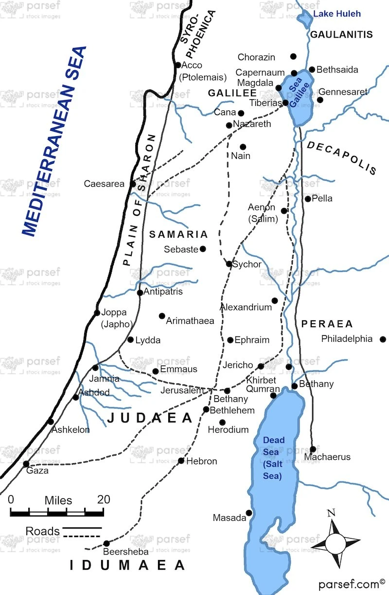
Palestine in New Testament Times 300dpi Map: This map illustrates the geography of Palestine during the time of the New Testament, specifically in the 1st century CE. It highlights key regions such as Judea, Galilee, and Samaria. The map provides a visual context for the life and ministry of Jesus, as well as the early spread of Christianity.


Download High Resolution 300 DPI File Palestine in New Testament Times 300dpi Map


Related Maps

Roman World Maccabees Map image
Read More

Roman World Maccabees Map

Roman World Maccabees Map: This map focuses on the Roman Empire’s interaction with the Maccabean Kingdom during the 2nd century...
Read More

Babylonian Empire New image
Read More

Babylonian Empire New

Babylonian Empire New Map: This map depicts the New Babylonian (Chaldean) Empire, including its territories and capital, Babylon. It highlights...
Read More

Amalekites Territory Map image
Read More

Amalekites Territory Map

Amalekites Territory Map: This map outlines the territory of the Amalekites, an ancient nomadic tribe mentioned in the Bible. It...
Read More

David’s Kingdom Map image
Read More

David’s Kingdom Map

David’s Kingdom Map: Focused on the reign of King David, this map highlights his military conquests and territorial expansion. It...
Read More

Amos Judah Map image
Read More

Amos Judah Map

Amos Judah Map: This map focuses on the regions of Judah mentioned in the Book of Amos. It highlights key...
Read More

Kirjath Jearim Map image
Read More

Kirjath Jearim Map

Kirjath Jearim Map: This map focuses on the city of Kirjath Jearim, an important location in the Bible, particularly in...
Read More

Exodus Red Sea Map image
Read More

Exodus Red Sea Map

Exodus Red Sea Map: This map depicts the crossing of the Red Sea during the Israelites' exodus from Egypt. It...
Read More