Israel and Judah Map

Israel and Judah Map image

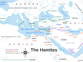
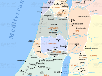
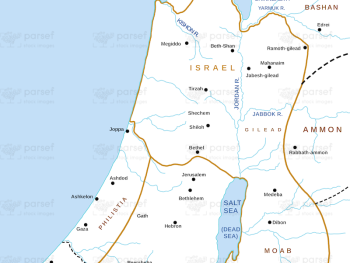
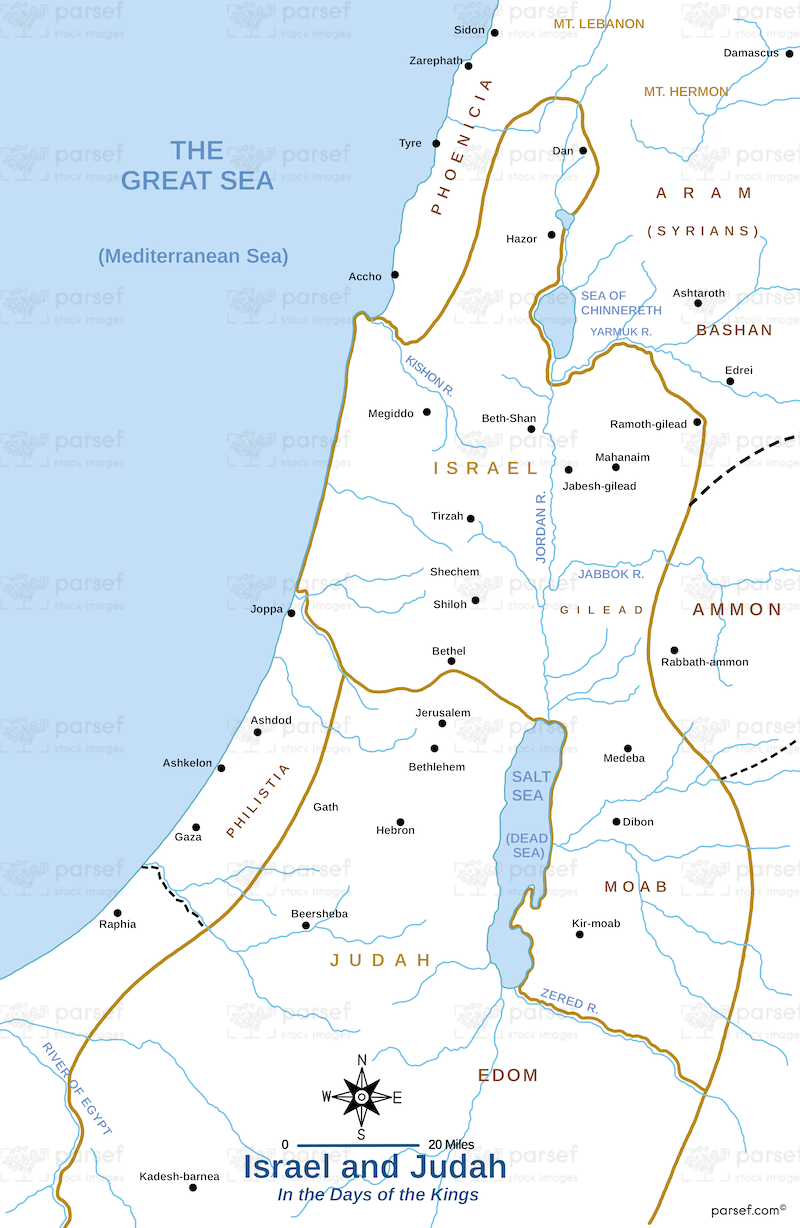
Israel and Judah Map: This map shows the geographical locations of the kingdoms of Israel and Judah. It outlines the key cities, including Jerusalem, Samaria, and Hebron. The map provides a framework for understanding the biblical narratives of these two kingdoms.


Download High Resolution 300 DPI File Israel and Judah Map


Related Maps

Assyrian Empire Map image
Read More

Assyrian Empire Map

Assyrian Empire Map: Explore the vast expanse of the Assyrian Empire at its height. This map includes major cities, trade...
Read More

Ophir and Tarshish Map image
Read More

Ophir and Tarshish Map

Ophir and Tarshish Map: This map shows the locations of Ophir and Tarshish, two regions mentioned in the Bible as...
Read More

Exodus Red Sea Map image
Read More

Exodus Red Sea Map

Exodus Red Sea Map: This map depicts the crossing of the Red Sea during the Israelites' exodus from Egypt. It...
Read More

Kirjath Jearim Map image
Read More

Kirjath Jearim Map

Kirjath Jearim Map: This map focuses on the city of Kirjath Jearim, an important location in the Bible, particularly in...
Read More

Exodus from Egypt Map image
Read More

Exodus from Egypt Map

Exodus from Egypt Map: This map traces the route of the Israelites during their exodus from Egypt. It highlights key...
Read More