Mount Ararat and Mesopotamia Map

Mount Ararat and Mesopotamia Map image

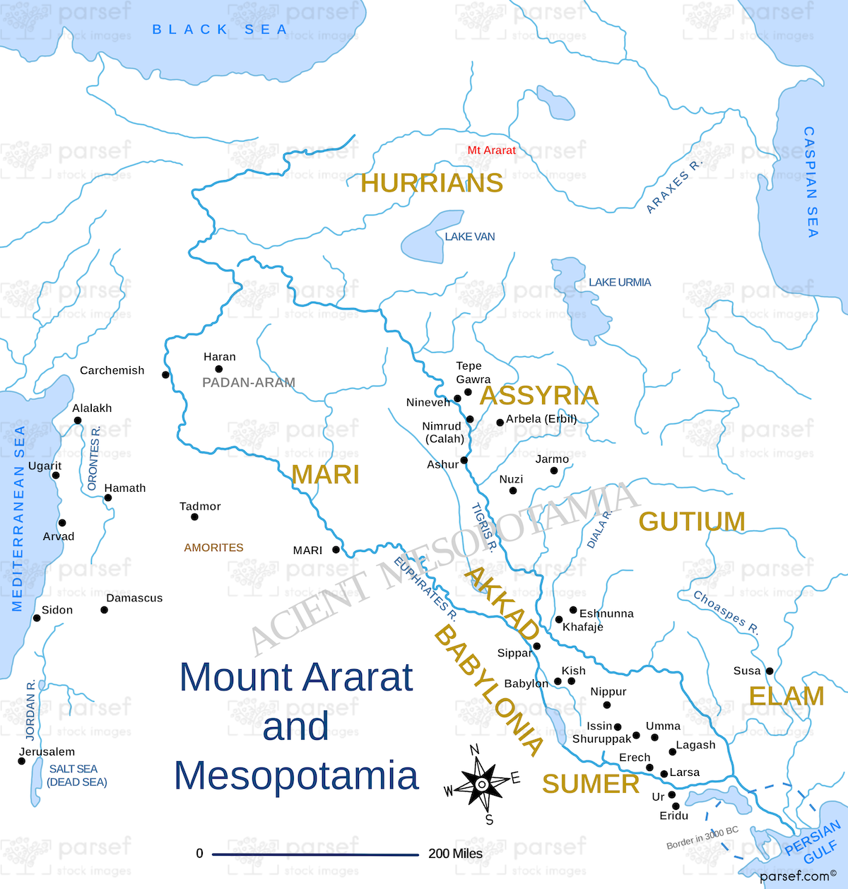
Mount Ararat and Mesopotamia Map: This map highlights the region around Mount Ararat, traditionally associated with the resting place of Noah’s Ark. It also covers parts of Mesopotamia, where early civilizations like Sumer and Akkad arose. The map provides a historical context for the post-flood world and the emergence of ancient cultures.


Download High Resolution 300 DPI File Mount Ararat and Mesopotamia Map


Related Maps

Michmash Map image
Read More

Michmash Map

Michmash Map: This map focuses on the town of Michmash, a key location during the time of Saul and Jonathan....
Read More

Idumea Map image
Read More

Idumea Map

Idumea Map: This map shows the region of Idumea, located south of Judea and associated with the descendants of Esau....
Read More

Hebron Map image
Read More

Hebron Map

Hebron Map: This map focuses on the city of Hebron, a significant location in both the Old and New Testaments....
Read More