The Period of the Kings Map

The Period of the Kings Map image

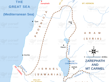
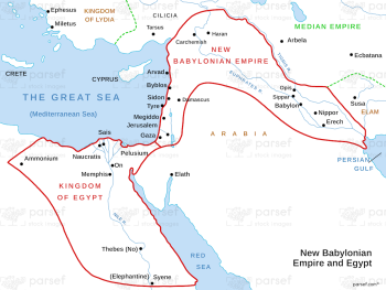
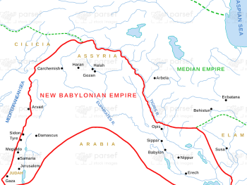
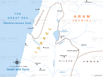
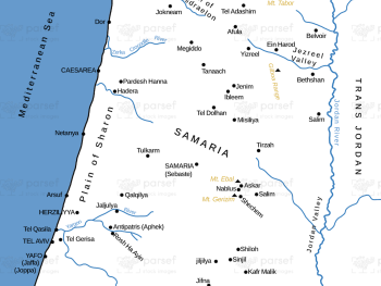
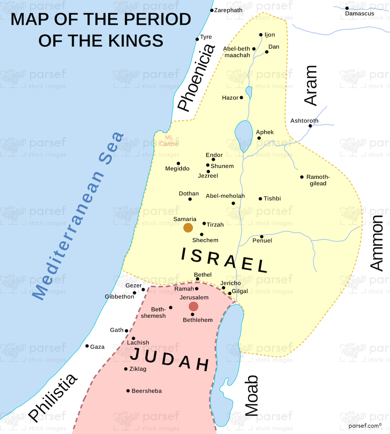
The Period of the Kings Map: This map covers the period of the kings in Israel and Judah, detailing the territories and key cities during the reigns of Saul, David, Solomon, and their successors. It provides a visual understanding of the division between the northern kingdom of Israel and the southern kingdom of Judah. The map is crucial for understanding the political landscape during the biblical monarchy.


Download High Resolution 300 DPI File The Period of the Kings Map


Related Maps

Kirjath Jearim Map image
Read More

Kirjath Jearim Map

Kirjath Jearim Map: This map focuses on the city of Kirjath Jearim, an important location in the Bible, particularly in...
Read More

Asia in Roman Times Map image
Read More

Asia in Roman Times Map

Asia in Roman Times Map: This map highlights the province of Asia during Roman rule. It includes major cities, trade...
Read More

Benjamin’s Territory Map image
Read More

Benjamin’s Territory Map

Benjamin’s Territory Map: This map outlines the tribal territory of Benjamin in ancient Israel. It highlights key cities such as...
Read More

Canaanite Nations Map image
Read More

Canaanite Nations Map

Canaanite Nations Map: This map highlights the locations and territories of the Canaanite nations mentioned in the Bible. It shows...
Read More

Babylonian Empire New image
Read More

Babylonian Empire New

Babylonian Empire New Map: This map depicts the New Babylonian (Chaldean) Empire, including its territories and capital, Babylon. It highlights...
Read More